Models & specificitiesDescriptiveReviewsA questionBesoin de formation
Models & specificities
Back to menu
Reference
Price inc VAT
Price inc VAT
GAXEROL60I
£2162.11
£2162.11
Models & specificitiesDescriptiveReviewsA questionBesoin de formation
Descriptive
Back to menu
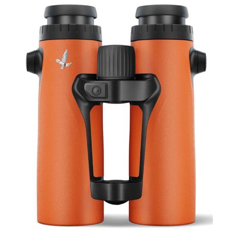
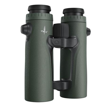
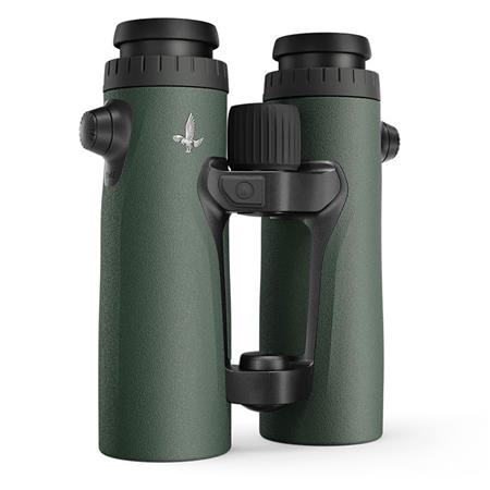
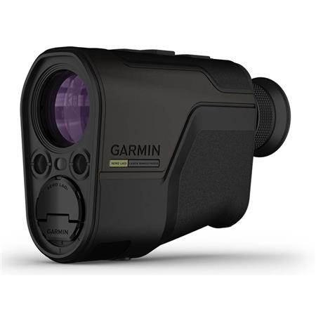
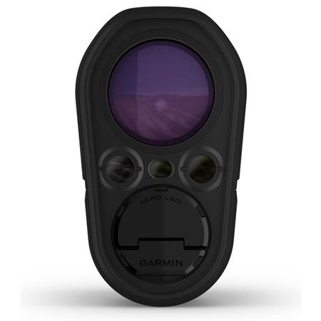
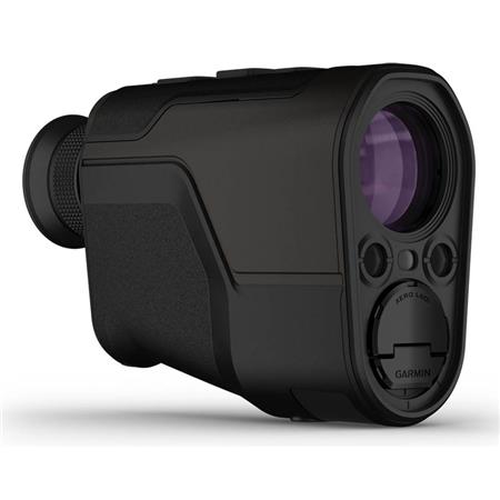
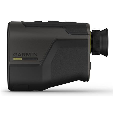
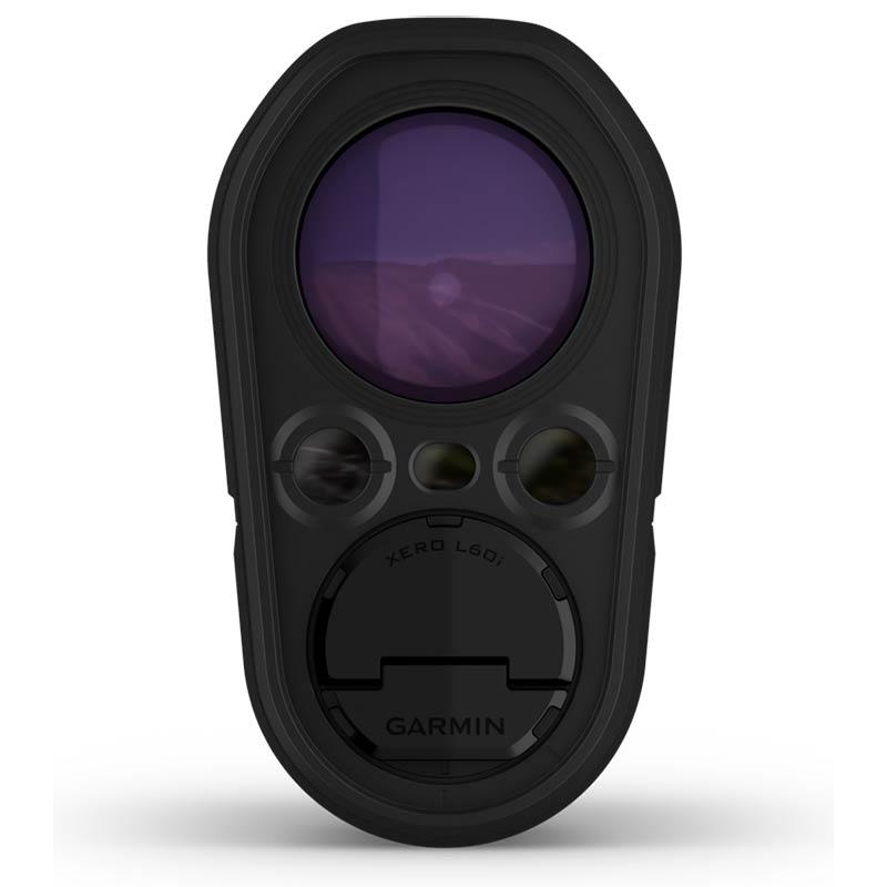
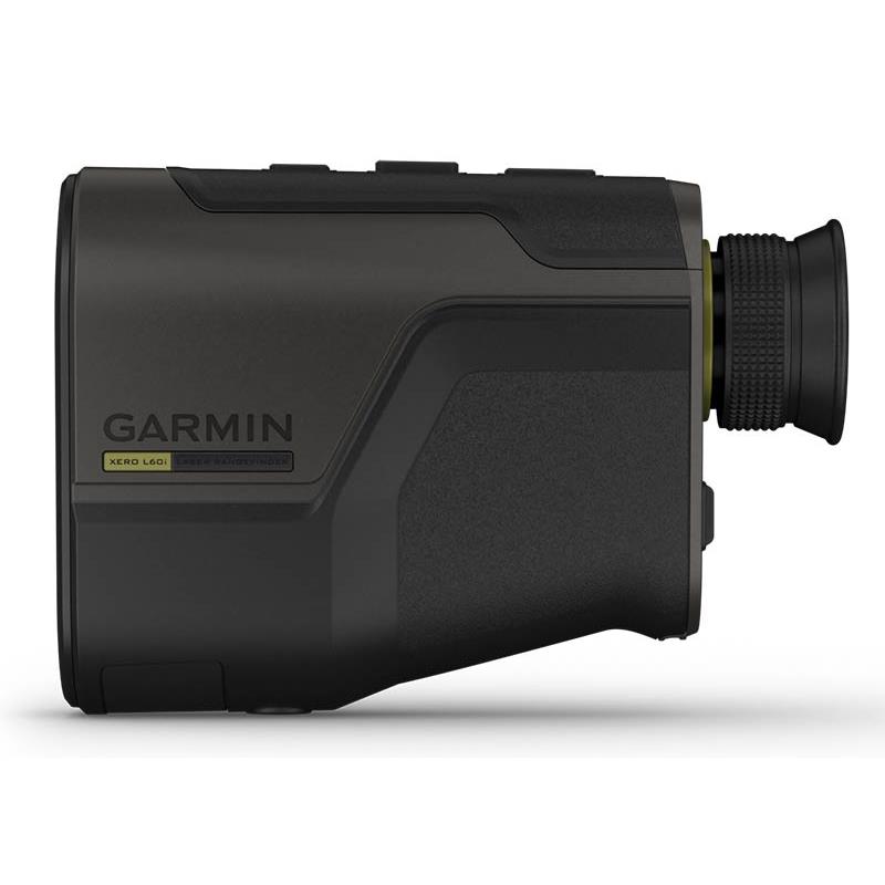
Measure distance and access additional data with the Xero® L60i laser rangefinder. This premium rangefinder combines high-quality optics, advanced GPS technology and next-generation sensors for an unrivaled measuring experience. Enjoy a clear view thanks to a color, high-resolution graphical overlay displaying distance, route, mapping and much more. Measure distances up to 1 800 meters and up to 1 375 meters for animals or dark targets, thanks to a x7 magnification. Don't just measure distance: also get the exact position with advanced routing features. Mark a waypoint at measured locations to save them or share them with your compatible device. Use the graphical overlay with the built-in TopoActive mapping to reach your waypoints using the Laser Locate function. For even more distant positions, use the Sensor Locate function, which allows projecting a waypoint using the compass, inclinometer and mapping. If you lose sight of the target along the way, the visual cue function displayed on the screen and on the mapping guides you to find it.
KEY FEATURES LONG-RANGE : Use the X7 magnification to measure distances up to 1 800 meters and up to 1 375 meters for animals or dark targets. In optimal low-light conditions, measure retroreflective objects up to 5 000 meters. Achieve extreme accuracy thanks to the proprietary Target Lock technology.
GRAPHICAL OVERLAY : Enjoy a clear view thanks to a color, high-resolution graphical overlay displaying distance, position, mapping, ballistic data, route and much more.
ROUTING FEATURES : Look through the device and let the graphical overlay guide you to the waypoints created with the built-in TopoActive mapping. Stay on course with a three-axis electronic compass and view the elevation profile of your route. You can even display an aerial view of your position directly on the graphical overlay.
ADVANCED WAYPOINTS : Use advanced GPS technology and built-in sensors to place a waypoint on measured objects using the Laser Locate projection function. Project a waypoint beyond measurable distances with the Sensor Locate function. If you lose sight of an object along the way, the visual cue function on the graphical overlay will guide you to find it.
BUILT-IN BALLISTICS : Access the integrated Applied Ballistics Ultralight calculator via the AB Quantum app and get the data needed to achieve perfect shots. Archers also benefit from arrow-specific ballistic data, such as maximum trajectory height, angle-corrected distance and much more.
NAVIGATION ECOSYSTEM : Send waypoints or data to your compatible smartphone, then share them with your compatible Garmin device to more easily follow the route. Have you spotted something but your partner can't find it? This feature also lets you share waypoints with your partners' compatible devices.


 24h
24h